data.gov.uk
MCIL 2 charging area boundaries
Published by Greater London Authority
About this dataset
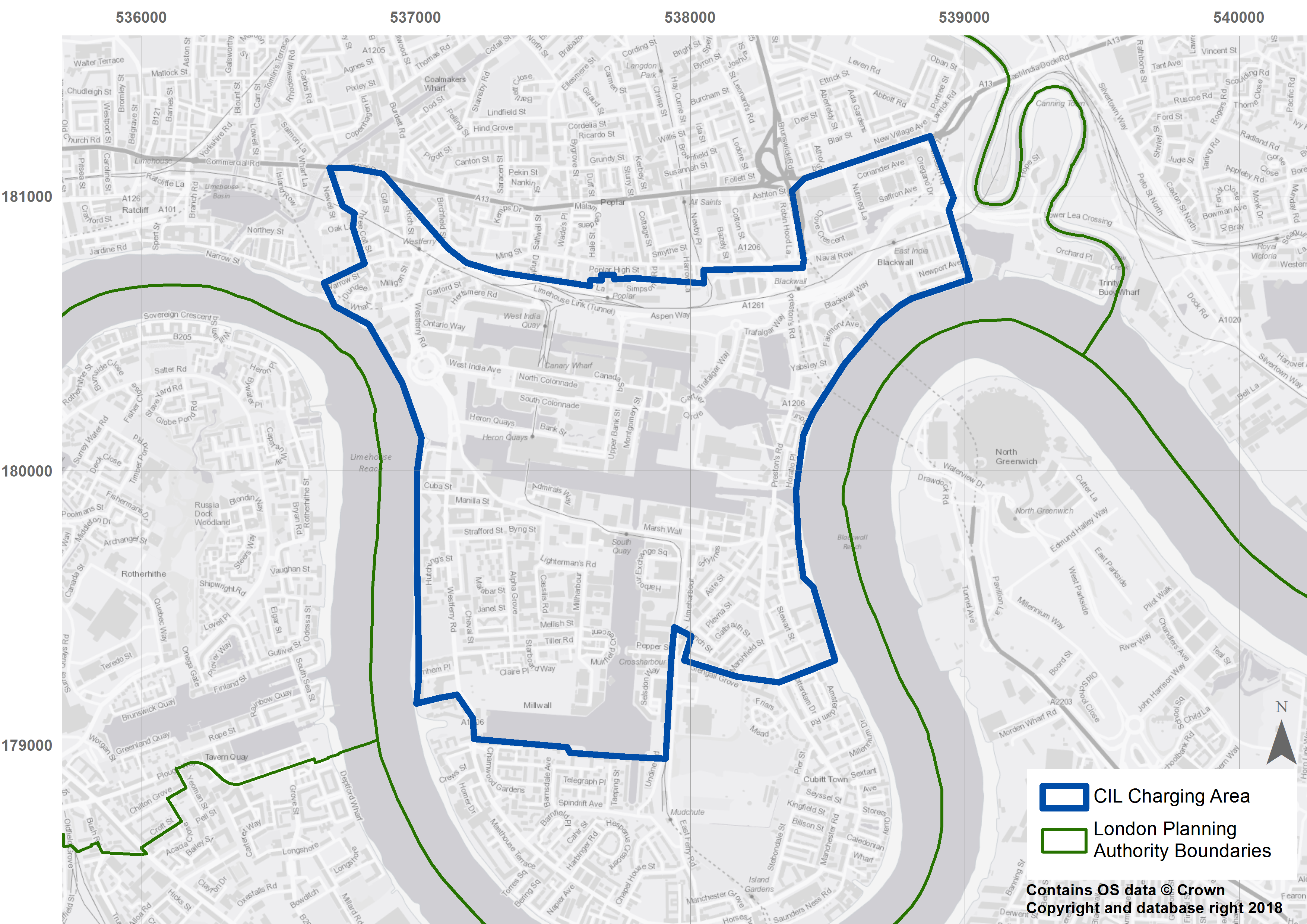
This page contains the spatial boundaries from the Mayor's Community Infrastructure Levy 2019 (known as MCIL 2), which replaces MCIL 1 on 1st April 2019. The following can be downloaded:: Image files of Central London and Isle of Dogs charging areas and the MCIL 2 charging bands MCIL 2 Central London charging area shape file for use in ArcMap or other GIS software MCIL 2 Isle of Dogs charging area shape file for use in ArcMap or other GIS software